
1:25,000
(17)
Ordnance Survey and others @ 1:25,000
1:40,000
(8)
Ordnance Survey and others @ 1:40,000
1:50,000
(14)
Ordnance Survey and others @ 1:50,000
Old Ordnance Survey
(53)
Ordnance Survey maps from the 19th and 20th centuries.
Other
(31)
Other miscellaneous local maps
Top Visitor
(49)
Top guides and maps for the visitor to the county.
Travel Guides
(69)
Various guides to the Lake District
Wainwright
(24)
Wainwright Series
Wall Maps
(14)
Waterproof
(15)
Waterproofed maps
-
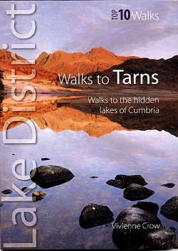
Top 10 Walks – Walks to Tarns
£5.99 -

Tubular Fells Poster
£12.99 -
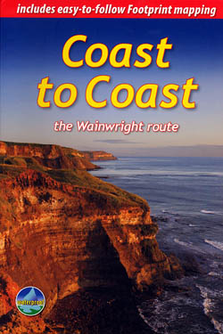
Coast to Coast the Wainwright Route
£12.50 -
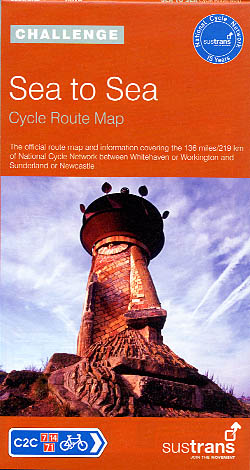
Sea to Sea – Cycle Route Map
£8.99 -

Cumbria’s Weather
Your Complete Guide
£5.99 -
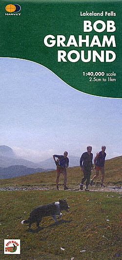
Bob Graham Round Map
£15.00 -

The Guide to the Mysterious Lake District
£14.99 -
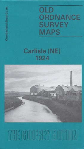
Carlisle (North East) 1924
Old Ordnance Survey Maps of Cumberland:
£3.50 -
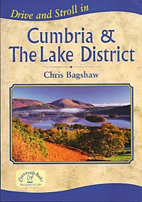
Drive and Stroll in Cumbria & The Lake District
£7.99 -
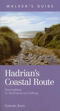
Hadrian’s Coastal Route
Ravenglass to Bowness on Solway
£9.99 -
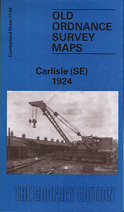
Carlisle 1924 (South East)
Old Ordnance Survey Maps of Cumberland:
£3.50 -
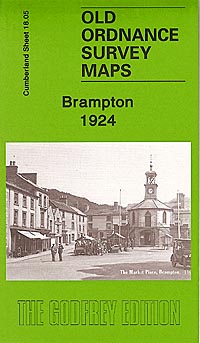
Brampton 1924
Old Ordnance Survey Maps of Cumberland
£3.50 -
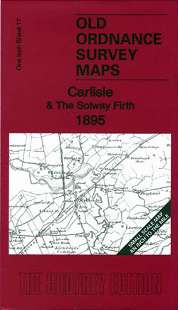
Carlisle and the Solway Firth 1895
Old Ordnance Survey Maps of Cumberland
£3.50 -
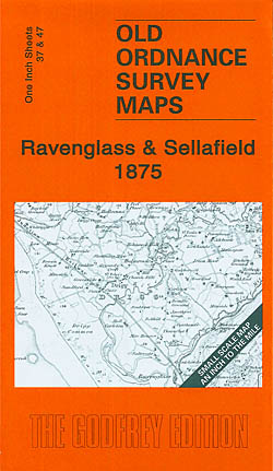
Ravenglass & Sellafield 1875
Old Ordnance Survey Maps of Cumberland
£3.50 -

Brampton & District 1903
Old Ordnance Survey Maps of Cumberland
£3.50 -
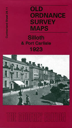
Silloth and Port Carlisle 1923
Old Ordnance Survey Maps of Cumberland
£3.50 -
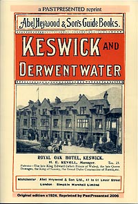
Abel Heywood’s Guide Book to Keswick & Derwentwater
£3.30 -
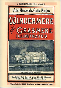
Abel Heywood’s Guide to Windermere & Grasmere
£3.30 -
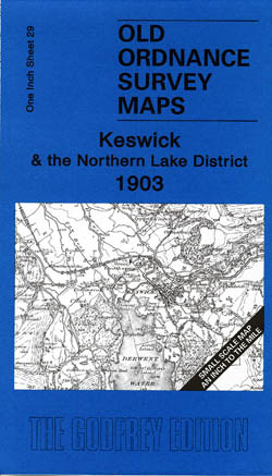
Keswick and Northern Lakes 1903
Old Ordnance Survey Maps of Cumberland
£3.50 -
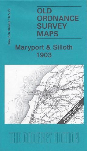
Maryport and Silloth 1903
Old Ordnance Survey Maps of Cumberland
£3.50
Showing 121–140 of 190 results