
1:25,000
(17)
Ordnance Survey and others @ 1:25,000
1:40,000
(8)
Ordnance Survey and others @ 1:40,000
1:50,000
(14)
Ordnance Survey and others @ 1:50,000
Old Ordnance Survey
(53)
Ordnance Survey maps from the 19th and 20th centuries.
Other
(31)
Other miscellaneous local maps
Top Visitor
(49)
Top guides and maps for the visitor to the county.
Travel Guides
(69)
Various guides to the Lake District
Wainwright
(24)
Wainwright Series
Wall Maps
(14)
Waterproof
(15)
Waterproofed maps
-
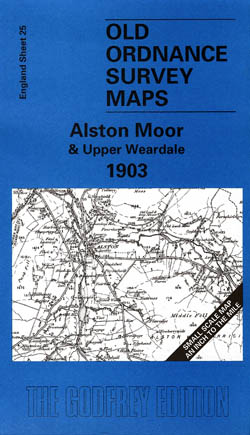
Alston Moor and Upper Weardale 1903
Old Ordnance Survey Maps of Cumberland
£3.50 -
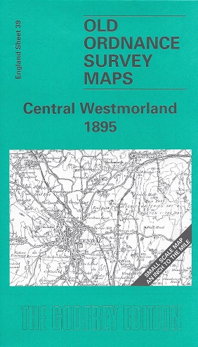
Central Westmorland 1895
Old Ordnance Survey Maps of Westmorland:
£3.50 -
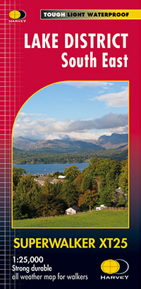
Lake District South East
Superwalker XT25 Waterproof
£13.50 -
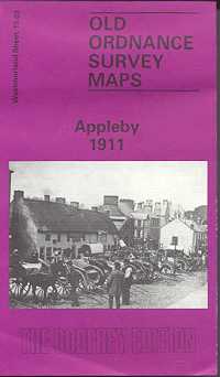
Appleby 1911
Old Ordnance Survey Maps of Westmorland:
£3.50 -
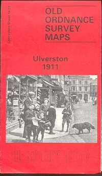
Ulverston 1911
Old Ordnance Survey Maps of Lancashire
£3.50 -
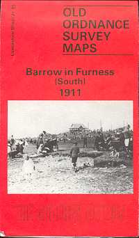
Barrow in Furness (South) 1911
Old Ordnance Survey Maps of Lancashire
£3.50 -
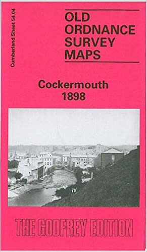
Cockermouth 1898
Old Ordnance Survey Maps of Cumberland
£3.50 -
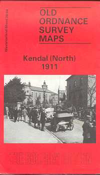
Kendal (North) 1911
Old Ordnance Survey Maps of Westmorland:
£3.50 -
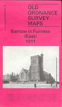
Barrow in Furness (East) 1911
Old Ordnance Survey Maps of Westmorland:
£3.50 -
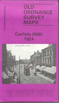
Carlisle (North West) 1924
Old Ordnance Survey Maps of Cumberland
£3.50 -
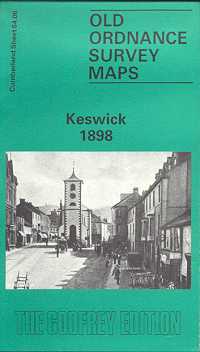
Keswick 1898
Old Ordnance Survey Maps of Cumberland
£3.50 -
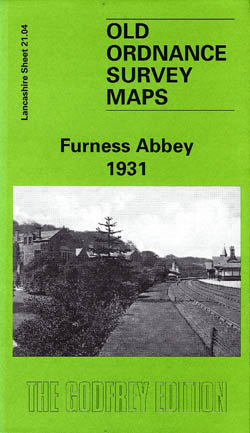
Furness Abbey 1931
Old Ordnance Survey Maps of Lancashire
£3.50 -
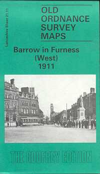
Barrow in Furness (West) 1911
Old Ordnance Survey Maps of Lancashire
£3.50 -
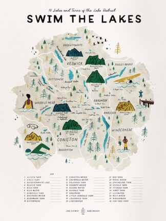
Swim the Lakes
£20.00 – £30.00 -
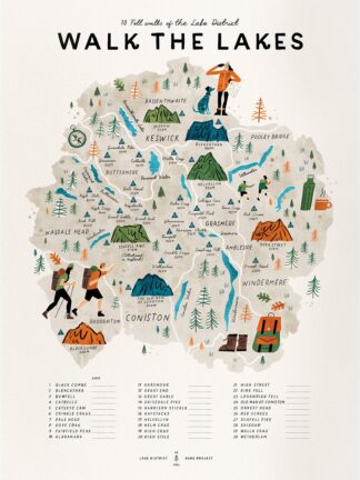
Walk the Lakes
30 Lake District Fell Walks
£20.00 – £30.00 -
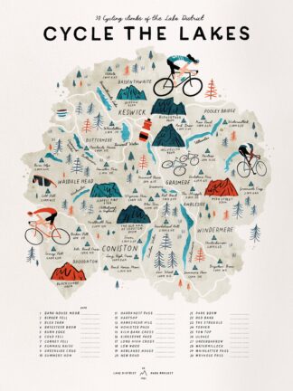
Cycle the Lakes
30 Lake District Cycle Climbs
£20.00 – £30.00 -
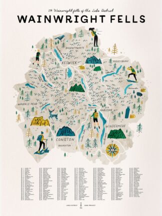
The Wainwright Fells
214 Wainwright Fells Wall Map
£20.00 – £30.00 -

Walk the 214 Wainwright Fells
Wall Map
£20.00 – £30.00 -
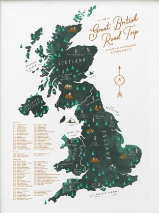
The Great British Road Trip
86 Areas of Outstanding Natural Beauty
£20.00 – £30.00 -
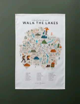
Tea Towel Walk the Lakes
30 Fell walks of the Lake District National Park
£12.50
Showing 161–180 of 190 results