
1:25,000
(17)
Ordnance Survey and others @ 1:25,000
1:40,000
(8)
Ordnance Survey and others @ 1:40,000
1:50,000
(14)
Ordnance Survey and others @ 1:50,000
Old Ordnance Survey
(53)
Ordnance Survey maps from the 19th and 20th centuries.
Other
(31)
Other miscellaneous local maps
Top Visitor
(49)
Top guides and maps for the visitor to the county.
Travel Guides
(69)
Various guides to the Lake District
Wainwright
(24)
Wainwright Series
Wall Maps
(14)
Waterproof
(15)
Waterproofed maps
-
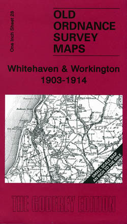
Whitehaven and Workington 1903-1914
Old Ordnance Survey Maps of Cumberland
£3.50 -

Nenthead 1898
Old Ordnance Survey Maps of Cumberland
£3.50 -
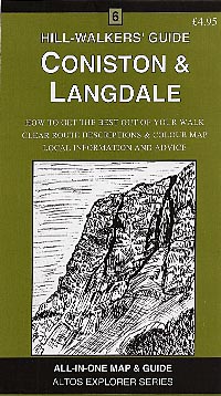
Coniston and Langdale
Altos Explorer
£4.95 -
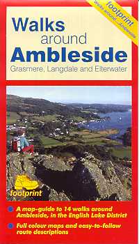
Walks Around Ambleside, Grasmere, Langdale and Elterwater
£4.95 -

Stainmore 1904
Old Ordnance Survey Maps of Cumberland
£3.50 -
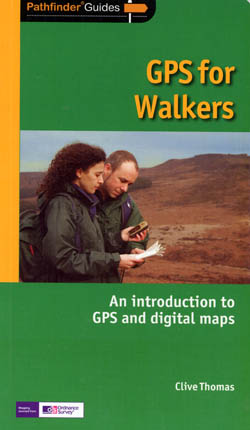
GPS for Walkers
A Pathfinder Guide
£11.99 -
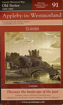
Appleby in Westmorland Old Series 91
£5.00 -

Penrith & Keswick Old Series 90
£5.00 -
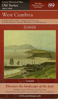
West Cumbria Old Series 89
£5.00 -
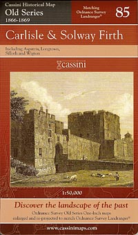
Carlisle & Solway Old Series 85
£5.00 -
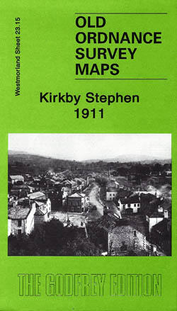
Kirkby Stephen 1911
Old Ordnance Survey Maps of Westmorland:
£3.50 -
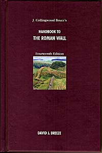
Handbook to the Roman Wall
£27.00 -
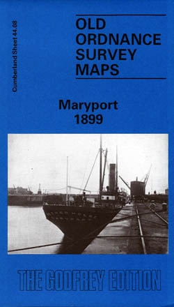
Maryport 1899
Old Ordnance Survey Maps of Cumberland
£3.50 -
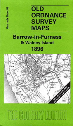
Barrow-in-Furness and Walney Island 1896
Old Ordnance Survey Maps of Lancashire
£3.50 -
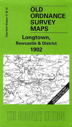
Longtown, Bewcastle and District 1902
Old Ordnance Survey Maps of Cumberland
£3.50 -
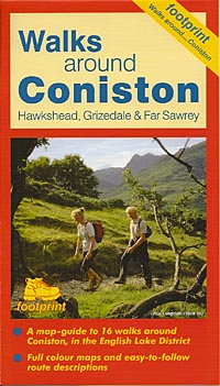
Walks Around Coniston
£4.95 -

Shap,Ullswater and Appleby 1895
Old Ordnance Survey Maps of Cumberland
£3.50 -
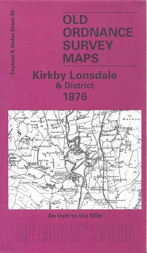
Kirkby Lonsdale and District 1876
Old Ordnance Survey Maps of Westmorland:
£3.50 -
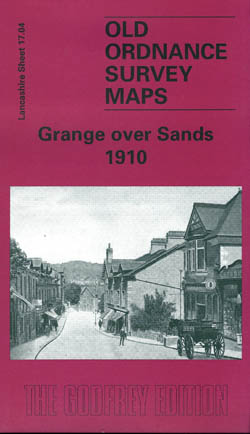
Grange over Sands 1910
Old Ordnance Survey Maps of Lancashire
£3.50 -
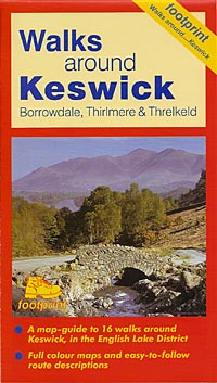
Walks Around Keswick
£4.95
Showing 141–160 of 190 results