
Maps- contemporary and historic; decorative wall maps and travel guides
1:25,000
(17)
Ordnance Survey and others @ 1:25,000
1:40,000
(8)
Ordnance Survey and others @ 1:40,000
1:50,000
(14)
Ordnance Survey and others @ 1:50,000
Old Ordnance Survey
(53)
Ordnance Survey maps from the 19th and 20th centuries.
Other
(31)
Other miscellaneous local maps
Top Visitor
(49)
Top guides and maps for the visitor to the county.
Travel Guides
(69)
Various guides to the Lake District
Wainwright
(24)
Wainwright Series
Wall Maps
(14)
Waterproof
(15)
Waterproofed maps
-
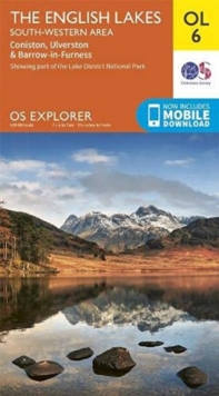
English Lakes South-Western Area OL6
Coniston, Ulverston & Barrow-in-Furness OS Explorer Map
£9.99 -
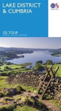
Lake District & Cumbria
O S Tour Map
£4.99 -
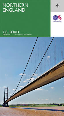
Northern England
OS Road Map; 4
£5.99 -
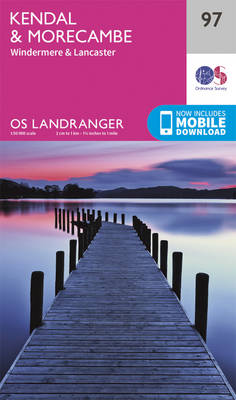
Kendal & Morecambe; Windermere & Lancaster
OS Landranger 97
£9.99 -
Carlisle & Solway Firth + Gretna Green
OS Landranger Map 85
£9.99 -
Barrow-In-Furness & South Lakeland
OS Landranger 96
£9.99 -
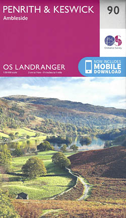
Penrith & Keswick + Ambleside
OS Landranger Map 90
£15.99 -
West Cumbria, Cockermouth & Wast Water
OS Landranger Map 89
£9.99 -
Penrith & Keswick & Ambleside
OS Landranger 90
£9.99 -
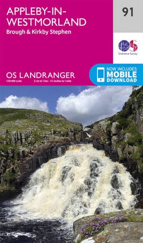
Appleby-In-Westmorland, Brough & Kirkby Stephen
OS Landranger 91
£9.99 -
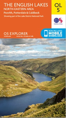
English Lakes North-Eastern Area OL 5
Penrith, Patterdale & Caldbeck
£9.99 -
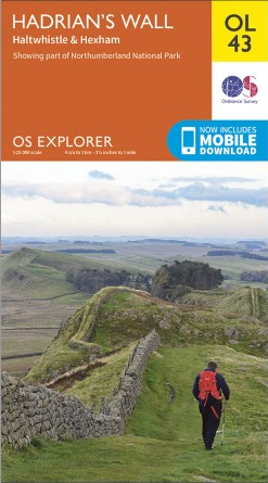
Hadrian’s Wall OL 43
Haltwistle & Hexham OS Explorer
£9.99 -
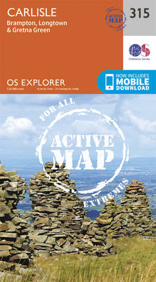
Carlisle, Brampton, Longtown & Gretna Green 315
OS Explorer Active Map - Waterproof
£15.99 -
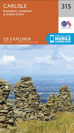
Carlisle, Brampton, Longtown & Gretna Green OL 315
OS Explorer
£9.99 -
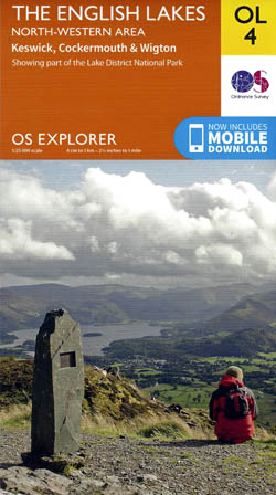
English Lakes – North Western Area OL 4
Keswick,Cockermouth and Wigton OS Explorer
£9.99
Showing all 15 results