
1:25,000
(17)
Ordnance Survey and others @ 1:25,000
1:40,000
(8)
Ordnance Survey and others @ 1:40,000
1:50,000
(14)
Ordnance Survey and others @ 1:50,000
Old Ordnance Survey
(53)
Ordnance Survey maps from the 19th and 20th centuries.
Other
(31)
Other miscellaneous local maps
Top Visitor
(49)
Top guides and maps for the visitor to the county.
Travel Guides
(69)
Various guides to the Lake District
Wainwright
(24)
Wainwright Series
Wall Maps
(14)
Waterproof
(15)
Waterproofed maps
-
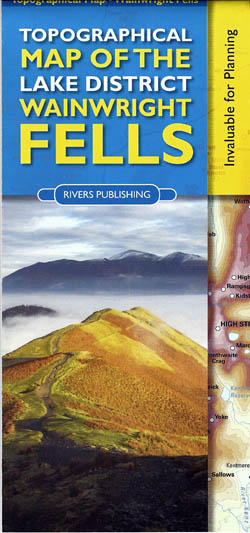
Topographical Map of the Lake District Wainwright Fells
£9.95 -
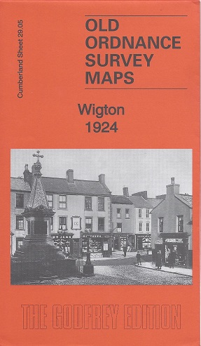
Wigton 1924
Old Ordnance Survey Maps of Cumberland
£3.50 -

Allonby – A Short History and Guide
£4.00 -
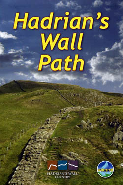
Hadrian’s Wall Path
£10.99 -
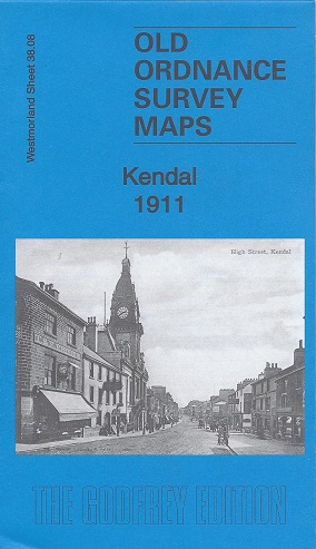
Kendal 1911
Old Ordnance Survey Maps of Westmorland:
£3.50 -

The AA Guide to the Lake District & Cumbria
£11.99 -
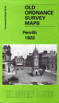
Penrith 1923
Old Ordnance Survey Maps of Cumberland
£3.50 -
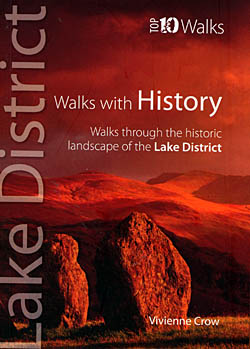
Top 10 Walks Lake District, Walks With History
£5.99 -
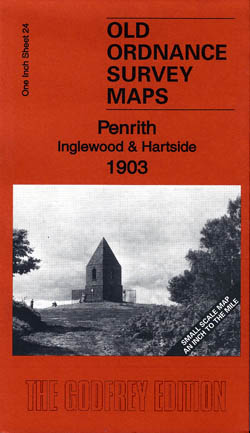
Penrith, Inglewood and Hartside 1903
Old Ordnance Survey Maps
£3.50 -
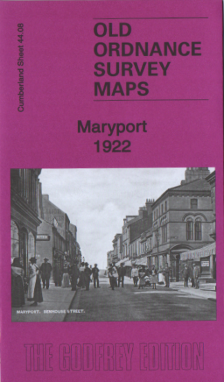
Maryport 1922
Old Ordnance Survey Maps
£3.50 -
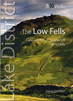
Top 10 Walks Lake District-The Low Fells
£5.99 -
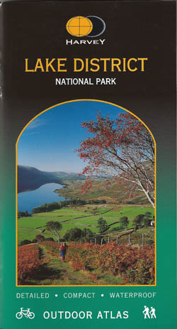
Lake District Outdoor Atlas
£14.95 -
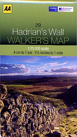
Hadrian’s Wall Walker’s Map
£7.99 -
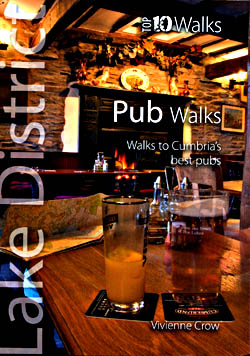
Top 10 Walks – Cumbria’s Best Pubs
£5.99 -

Aerial Map of Wainwright Fells of the Lake District
£8.99 -
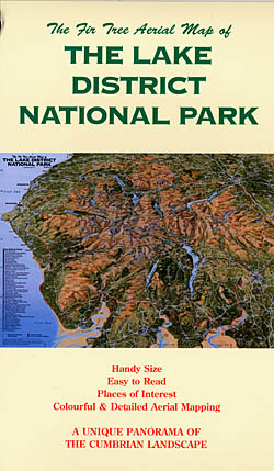
Aerial Map of the Lake District National Park
£8.99 -
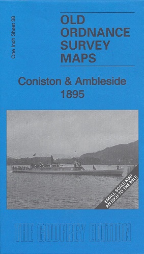
Coniston and Ambleside 1895
Old Ordnance Survey Maps of Westmorland:
£3.50 -
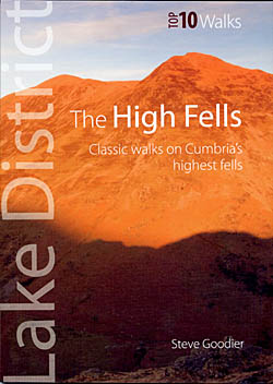
Top 10 Walks – The High Fells
£5.99 -
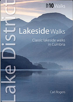
Top 10 Walks – Lakeside Walks
£5.99 -
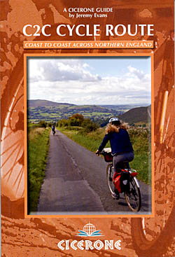
C2C Cycle Route – Coast to Coast Across Northern England
£12.95
Showing 101–120 of 190 results