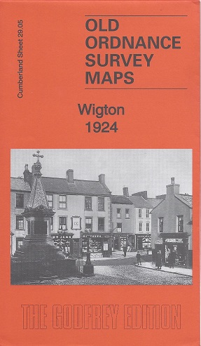
Wigton 1924
Old Ordnance Survey Maps of Cumberland
£3.50
These detailed maps normally cover an area of about one and a half miles by one mile. Each map includes an introduction.
The main map covers the town centre and the area north and west. Features include St Mary’s church, Durafit Works, Thomlinson Girls’ Grammar School, Bog, tannery, Western Bank, railway with station, Preserve Works, Printfield, Standingstone, Highfield House (former workhouse), Wigton Hall, Friends Meeting House, Aikhead.
On the reverse we include part of adjacent sheet 29.06 extending coverage eastward to include Nelson School, Burnfoot, Convent and St Cuthbert’s RC church, Public Baths, East End.
publisher:
Godfrey
Publication Date:
2014 September
format:
Folded Map
ISBN:
9781847848192
