
1:25,000
(17)
Ordnance Survey and others @ 1:25,000
1:40,000
(8)
Ordnance Survey and others @ 1:40,000
1:50,000
(14)
Ordnance Survey and others @ 1:50,000
Old Ordnance Survey
(53)
Ordnance Survey maps from the 19th and 20th centuries.
Other
(31)
Other miscellaneous local maps
Top Visitor
(49)
Top guides and maps for the visitor to the county.
Travel Guides
(69)
Various guides to the Lake District
Wainwright
(24)
Wainwright Series
Wall Maps
(14)
Waterproof
(15)
Waterproofed maps
-
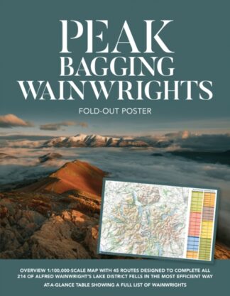
Peak Bagging Wainwrights Fold-Out Poster
£7.00 -
Peak Bagging Wainwrights Fold-Out Poster
£7.00 -
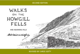
Walks on the Howgill Fells
And adjoining fells
£14.95 -
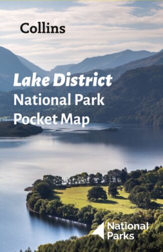
Lake District National Park Pocket Map
£3.99 -
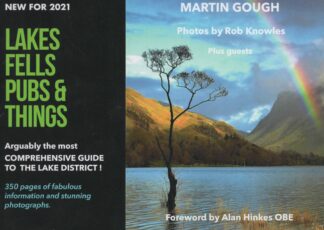
Lakes Fells Pubs and Things
£19.99 -
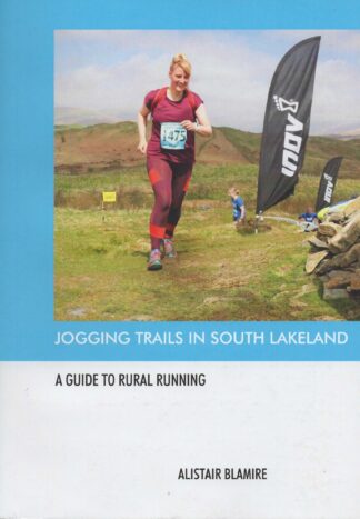
Jogging Trails in South Lakeland
A Guide to Rural Running
£14.99 -
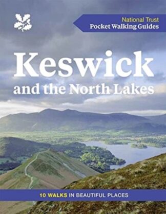
Keswick and the North Lakes
10 Walks in Beautiful Places
£6.00 -
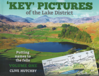
‘Key’ Pictures of the Lake District
Volume One
£20.00 -
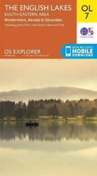
English Lakes, South Eastern Area, OL 7
Kendal, Windermere and Silverdale
£9.99 -
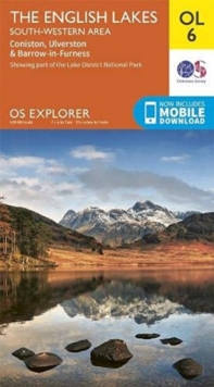
English Lakes South-Western Area OL6
Coniston, Ulverston & Barrow-in-Furness OS Explorer Map
£9.99 -
English Lakes, South Eastern Area, OL 7
Kendal, Windermere and Silverdale
£15.99 -
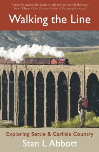
Walking the Line
Exploring Settle and Carlisle Country
£9.99 -

Rough Guide to the Lake District
£14.99 -
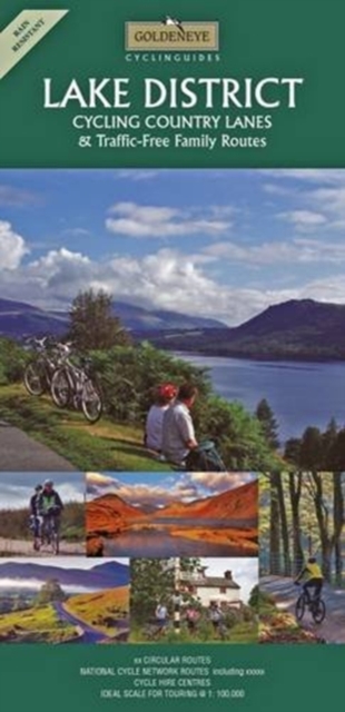
Lake District : Cycling Country Lanes & Traffic-Free Family Routes
£7.99 -

Walking the Wainwrights
64 Walks to Climb the 214 Wainwrights of Lakeland
£21.99 -

Top 10 Lake District
DK Eyewitness Travel
£8.99 -
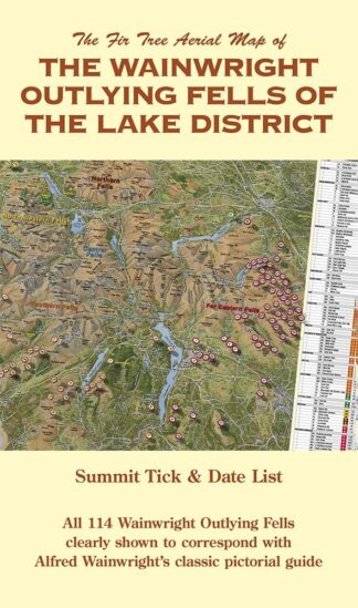
The Wainwright Outlying Fells of The Lake District
£8.99 -
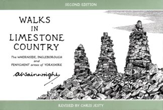
Walks in Limestone Country
The Whernside, Ingleborough and Penyghent areas of Yorkshire
£14.95 -
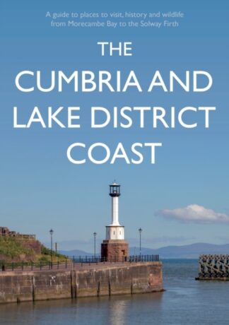
The Cumbria and Lake District Coast
£19.99 -
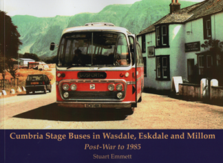
Cumbria Stage Buses in Wasdale, Eskdale and Millom
Post-War to 1985
£11.95
Showing 21–40 of 190 results