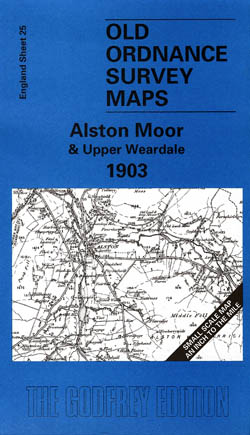
Alston Moor and Upper Weardale 1903
Old Ordnance Survey Maps of Cumberland
£3.50
- One inch to One mile map
- These maps normally cover an area of about 18 miles by 12 miles and are especially good at showing railways, roads and canals, and at giving a broad view of a wider area. Each includes an introduction and a more detailed map of a small town or village.
- There are parts of 5 counties on this map: Cumberland and Durham are the principal constituents, but there are also sections of Northumberland and Westmorland and, at the foot, a tiny fragment of Yorkshire. Our author Robert Forsythe describes it as at the core of the Pennines, and with upper Weardale running through it, thisis a dramatic landscape. Coverage stretches from Alston eastward to Eastgate, and southward to Widdybank Fell. On the reverse is a map of Bolt’s Burn, topday better known as Rookhope, and a feature of both maps is the group of remarkable railways that ran here.
publisher:
Godfrey
Publication Date:
2001 January
ISBN:
9781841512334
