
Ordnance Survey maps from the 19th and 20th centuries.
-
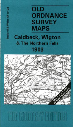
Calbeck, Wigton and the Northern Fells 1903
Old Ordnance Survey Maps of Cumberland
£3.50 -
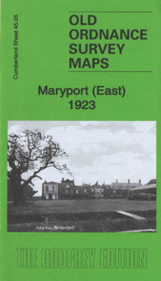
Maryport (East) 1923
Old Ordnance Survey Maps
£3.50 -
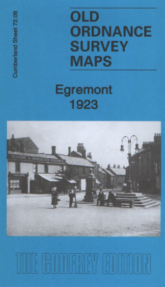
Egremont 1923
Old Ordnance Survey Maps
£3.50 -
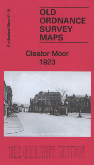
Cleator Moor 1923
Old Ordnance Survey Maps
£3.50 -
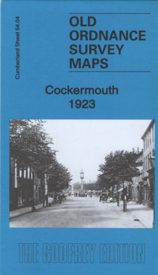
Cockermouth 1923
Old Ordnance Survey Maps
£3.50 -
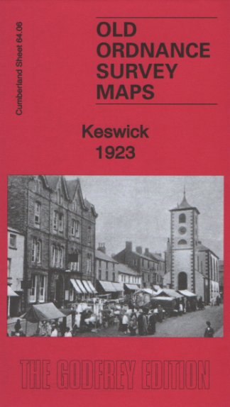
Keswick 1923
Old Ordnance Survey Maps
£3.50 -
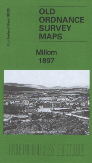
Millom 1897
Old Ordnance Survey Maps
£3.50 -
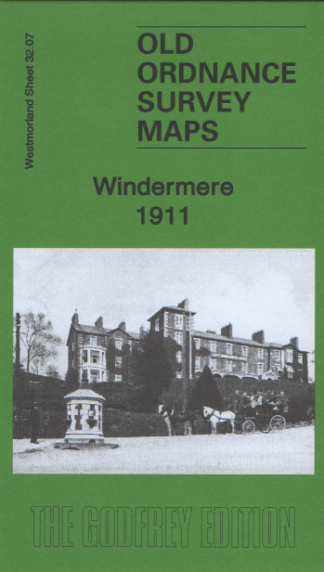
Windermere 1911
Old Ordnance Survey Maps
£3.50 -
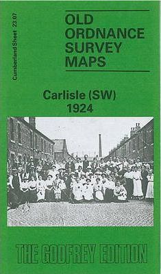
Carlisle (SW) 1924
Old Ordnance Survey Maps of Cumberland
£3.50 -
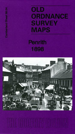
Penrith 1898
Old Ordnance Survey Maps of Cumberland
£3.50 -
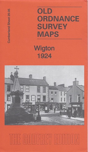
Wigton 1924
Old Ordnance Survey Maps of Cumberland
£3.50 -
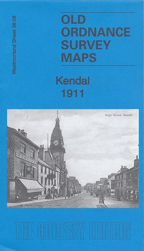
Kendal 1911
Old Ordnance Survey Maps of Westmorland:
£3.50 -
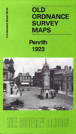
Penrith 1923
Old Ordnance Survey Maps of Cumberland
£3.50 -
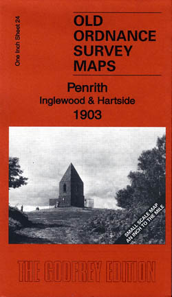
Penrith, Inglewood and Hartside 1903
Old Ordnance Survey Maps
£3.50 -
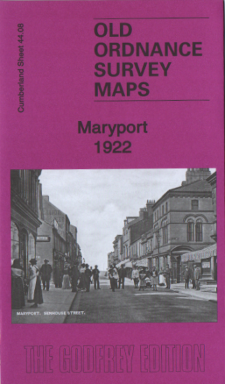
Maryport 1922
Old Ordnance Survey Maps
£3.50 -
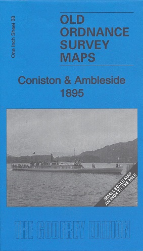
Coniston and Ambleside 1895
Old Ordnance Survey Maps of Westmorland:
£3.50 -
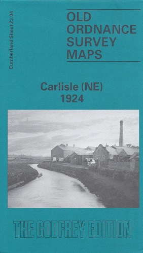
Carlisle (North East) 1924
Old Ordnance Survey Maps of Cumberland:
£3.50 -
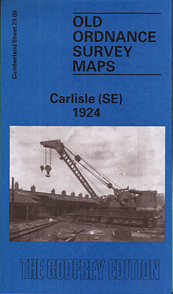
Carlisle 1924 (South East)
Old Ordnance Survey Maps of Cumberland:
£3.50 -
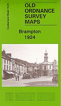
Brampton 1924
Old Ordnance Survey Maps of Cumberland
£3.50 -
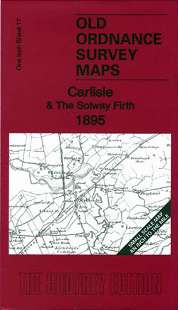
Carlisle and the Solway Firth 1895
Old Ordnance Survey Maps of Cumberland
£3.50
Showing 1–20 of 49 results