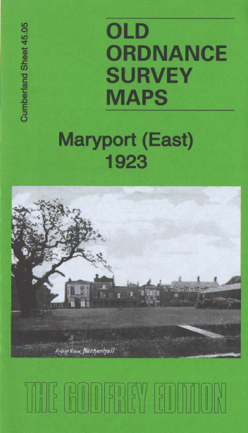
Maryport (East) 1923
Old Ordnance Survey Maps
£3.50
Inch to the Mile Map
These maps normally cover an area of about 18 miles by 12 miles and are especially good at showing railways, roads and canals, and at giving a broad view of a wider area. Each includes an introduction and a more detailed map of a small town or village
publisher:
Godfrey
Publication Date:
2022-08-18
format:
Folded Map
ISBN:
9781787215115


