
Maps- contemporary and historic; decorative wall maps and travel guides
1:25,000
(17)
Ordnance Survey and others @ 1:25,000
1:40,000
(8)
Ordnance Survey and others @ 1:40,000
1:50,000
(14)
Ordnance Survey and others @ 1:50,000
Old Ordnance Survey
(53)
Ordnance Survey maps from the 19th and 20th centuries.
Other
(31)
Other miscellaneous local maps
Top Visitor
(49)
Top guides and maps for the visitor to the county.
Travel Guides
(69)
Various guides to the Lake District
Wainwright
(24)
Wainwright Series
Wall Maps
(14)
Waterproof
(15)
Waterproofed maps
-
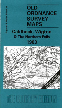
Calbeck, Wigton and the Northern Fells 1903
Old Ordnance Survey Maps of Cumberland
£3.50 -
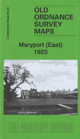
Maryport (East) 1923
Old Ordnance Survey Maps
£3.50 -
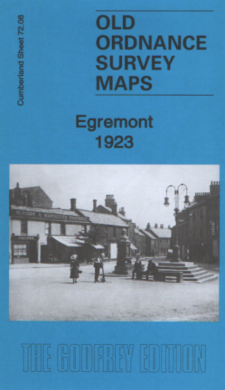
Egremont 1923
Old Ordnance Survey Maps
£3.50 -
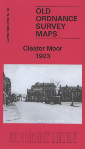
Cleator Moor 1923
Old Ordnance Survey Maps
£3.50 -
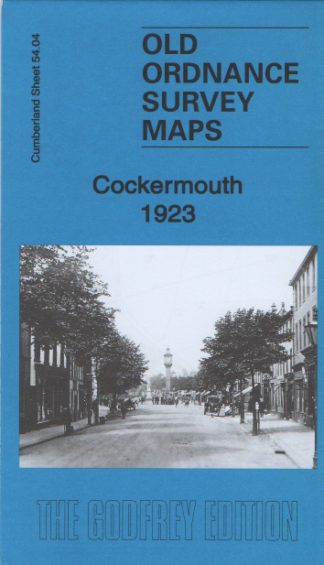
Cockermouth 1923
Old Ordnance Survey Maps
£3.50 -
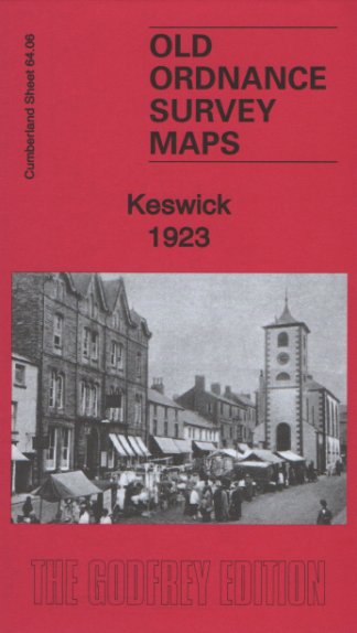
Keswick 1923
Old Ordnance Survey Maps
£3.50 -
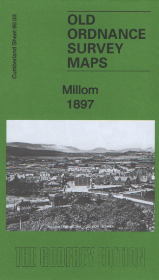
Millom 1897
Old Ordnance Survey Maps
£3.50 -
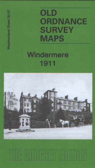
Windermere 1911
Old Ordnance Survey Maps
£3.50 -
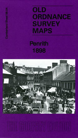
Penrith 1898
Old Ordnance Survey Maps of Cumberland
£3.50 -
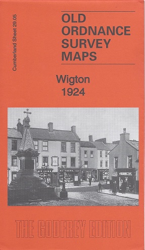
Wigton 1924
Old Ordnance Survey Maps of Cumberland
£3.50 -
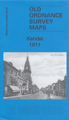
Kendal 1911
Old Ordnance Survey Maps of Westmorland:
£3.50 -
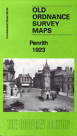
Penrith 1923
Old Ordnance Survey Maps of Cumberland
£3.50 -
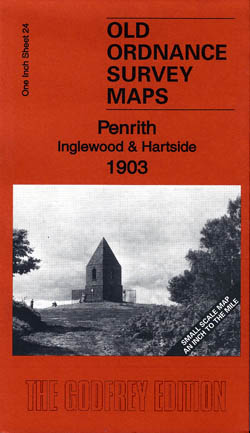
Penrith, Inglewood and Hartside 1903
Old Ordnance Survey Maps
£3.50 -
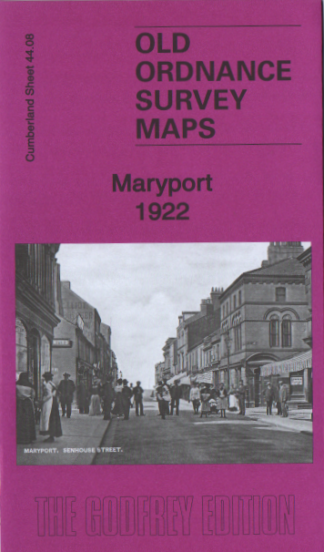
Maryport 1922
Old Ordnance Survey Maps
£3.50 -
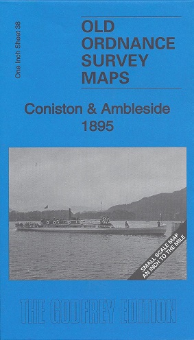
Coniston and Ambleside 1895
Old Ordnance Survey Maps of Westmorland:
£3.50 -
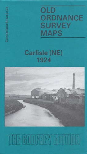
Carlisle (North East) 1924
Old Ordnance Survey Maps of Cumberland:
£3.50 -
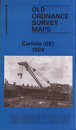
Carlisle 1924 (South East)
Old Ordnance Survey Maps of Cumberland:
£3.50 -
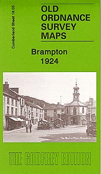
Brampton 1924
Old Ordnance Survey Maps of Cumberland
£3.50 -
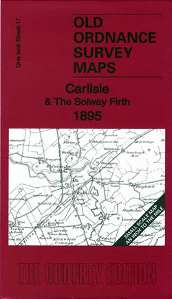
Carlisle and the Solway Firth 1895
Old Ordnance Survey Maps of Cumberland
£3.50 -
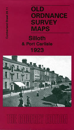
Silloth and Port Carlisle 1923
Old Ordnance Survey Maps of Cumberland
£3.50
Showing 1–20 of 45 results