
Carlisle
(127)
Carlisle and surrounding villages e.g Dalston
East Cumbria
(31)
Towns and villages east and southeast of Carlisle and Penrith
Kendal
(18)
Kendal and nearby villages
Keswick
(40)
Keswick and nearby hamlets and villages
North Cumbria
(47)
Places north of Carlisle, including Scottish ones
Penrith
(18)
Penrith town and surrounding area
South Cumbria
(80)
Towns and villages south of Keswick
West Cumbria
(85)
Towns and villages to the west of Carlisle and Keswick. Whitehaven has a separate section.
Whitehaven
(15)
Whitehaven town. Please see West Cumbria section for nearby communities
-
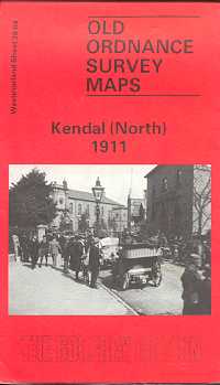
Kendal (North) 1911
Old Ordnance Survey Maps of Westmorland:
£3.50 -
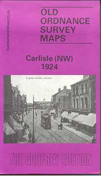
Carlisle (North West) 1924
Old Ordnance Survey Maps of Cumberland
£3.50 -
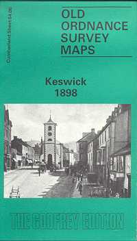
Keswick 1898
Old Ordnance Survey Maps of Cumberland
£3.50 -
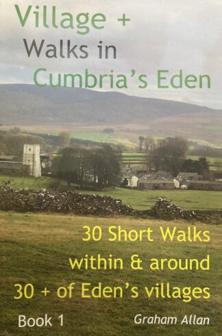
Village + Walks in Cumbria’s Eden Book 1
30 Short Walks within & around 30 + of Eden's villages.
£12.99 -
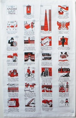
25 Amazing Carlisle Facts Teatowel
£12.95 -
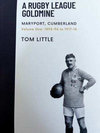
A Rugby League Goldmine
£18.00 -
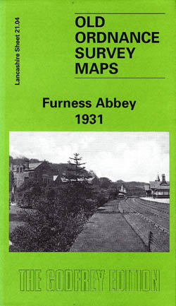
Furness Abbey 1931
Old Ordnance Survey Maps of Lancashire
£3.50 -
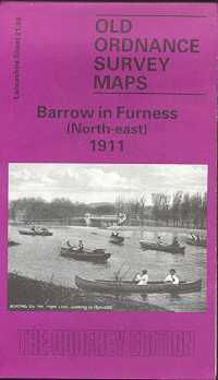
Barrow in Furness (North-East) 1911
Old Ordnance Survey Maps of Lancashire
£3.50 -
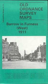
Barrow in Furness (West) 1911
Old Ordnance Survey Maps of Lancashire
£3.50 -
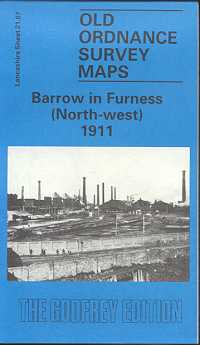
Barrow in Furness (North-West) 1911
Old Ordnance Survey Maps of Lancashire
£3.50
Showing 341–350 of 350 results