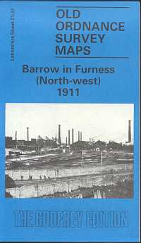
Barrow in Furness (North-West) 1911
Old Ordnance Survey Maps of Lancashire
£3.50
This detailed map covers the NW area of Barrow, with coverage stretching from Ainslie Street westward to North Scale and Red Ley Lane, and from Duke Street northward to the cemetery. The dominant feature is the Barrow Haematite Iron & Steel Works, shown with railway sidings, steel works, many furnaces, iron works. Other features include the Furness Railway with carriage sheds, Cocken Junction, part of the Hawcoat Branch, Lower Ormsgill Reservoir, British Griffin Chilled Iron Works, Hindpool Brick Works, Steel Hoop Works, fords and ferry across the Walney Channel, North Scale, Lenny Hill. Extracts from a street directory are included on the reverse.
publisher:
Godfrey
format:
Folded map.
ISBN:
850544610
illustrations:
Maps.
