Walking the Lake District Fells – Coniston
The Old Man of Coniston, Swirl How, Wetherlam, Duddon Valley & Eskdale
£14.95
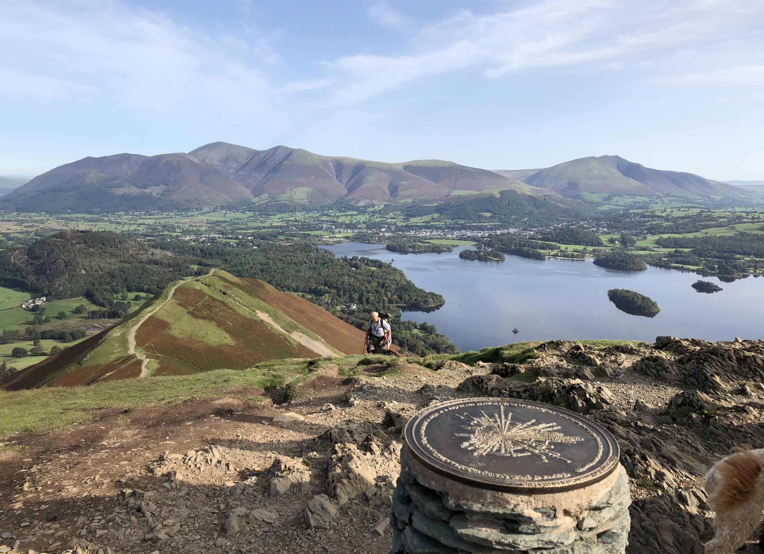
This guide describes 24 Lake District fells that can be climbed from Coniston and the Duddon and Eskdale valleys, including Coniston Old Man, Swirl How, Wetherlam and Dow Crag. The Coniston Fells – much loved for their classic ridges and wide-reaching views – need little introduction; however, to the west the less-frequented summits of the Birker and Corney Fell massifs offer more great mountain and maritime vistas, as well as solitude. Unlike other guidebooks which describe a single or limited number of routes to a particular destination, the aim of the Walking the Lake District Fells series is to offer all the options.
These are presented as numbered sections which can be combined to create infinite possibilities – from simple ascents to longer ridge routes. You’ll find the classics and popular routes alongside less traditional alternatives perfect for the wandering spirit. The series gives you both the freedom to devise your own routes and the information to make informed decisions, thanks to the clear descriptions of the routes, terrain, hazards, interesting features and safe descent paths should the weather close in.
Also included are a handful of classic ridge routes for longer fell days. Mark Richards’ inimitable text is complemented by HARVEY mapping and the author’s own beautiful sketch topos and panoramas. Perfect for keen hillwalkers and peak-baggers alike and ideal both for pre-planning and use on the hill, Walking the Lake District Fells is the new incarnation of the Fellranger series, which sees the volumes updated and trimmed to a more practical size.
These true connoisseurs’ guides are sure to inspire you to get out and explore the beautiful fells of Lakeland. For those collecting fell summits, a ‘Fellrangers’ hill list register can be found on the Long Distance Walkers Association website.
publisher:
Cicerone
pages:
240p
Publication Date:
2021 March
format:
Paperback; 172 x 116mm
ISBN:
9781786310392
illustrations:
29 maps, 5 summit panoramas, 25 topos and 100 colour photos
