Hadrian’s Wall Path
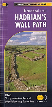
National Trail XT40, waterproof map
£14.50
Entire route on one map
Hadrian’s Wall Path is a National Trail and runs 130km (81 miles) from the Solway Coast to Newcastle.
The sites of Roman remains are marked on the map, with an enlargement of Housesteads.
Scale 1 :40,000
publisher:
Harvey
format:
Folded waterproof (polyethylene) map
ISBN:
9781851374380
illustrations:
Colour maps.


