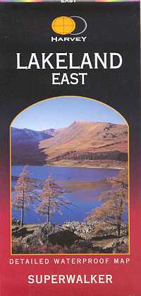
Lakeland East -Superwalker
Waterproof map
£13.50
A detailed waterproof map, clear and easy to read.Features Helvellyn and High Street and fells east of the Kendal-Keswick road. The Kirkstone Pass, Ullswater, Haweswater and Kentmere are on this sheet.
Detailed map for hillwalkers of the eastern fells of the Lake District National Park at the popular 1:25,000 scale.
Includes 82 Wainwrights.
Opens out to 960mm x 690mm.
1:25,000 scale.
publisher:
Harvey Map Services
Publication Date:
1998
format:
Folded map.
ISBN:
9781851375479
illustrations:
Colour map.
