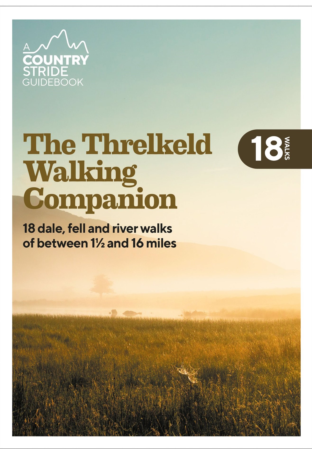
The Threlkeld Walking Companion
18 dale, fell and river walks of between 1 1/2 and 16 miles
£8.00
18 ambles, rambles and scrambles from the Lakeland gateway village of Threlkeld.
- 18 fell, meadow, woodland and riverside walks of between 1.5 and 16 miles.
- From short strolls for all abilities to full-day expeditions.
- Ascents of Blencathra, Skiddaw, High Rigg, Latrigg, Clough Head and more.
- Explore remote valleys, coffin routes, bronze age sites and Lakeland’s highest mountain pass with Fellranger author and Countrystride podcast presenter Mark Richards.
- Heritage highlights, detailed mapping and downloadable GPX routes.
- 50p from every copy sold is donated to the community-owned Threlkeld Village Hall.
Walks include:
- High Row Ramble – 1.5 miles
- Gategill Ramble – 1.5 miles
- Setmabanning – 3 miles
- Glenderaterra – 3.5 miles
- Glenderamackin – 7 miles
- Blencathra Skyline – 7.5 miles
- Hall’s Fell Ridge – 3.5 miles
- Sharp Edge – 7 miles
- Lonscale Fell and Latrigg – 10 miles
- Skiddaw Skyline – 15 miles
- Railway Ramble – 7.5 miles
- Castlerigg Circular – 8 miles
- Threlkeld Knotts – 5.5 miles
- Clough Head – 7 miles
- Sticks Pass – 16 miles
- High Rigg – 10 miles
- Over the Dodds – 10 miles
- The Old Coach Road – 8.5 miles
publisher:
Inspired by Lakeland
Publication Date:
2021 May
format:
Paperback; 195 x 135mm
illustrations:
Black and white illustrations throughout
