
Ordnance Survey and others @ 1:25,000
-
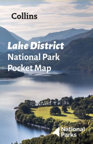
Lake District National Park Pocket Map
£3.99 -
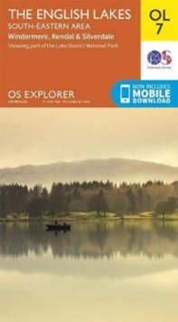
English Lakes, South Eastern Area, OL 7
Kendal, Windermere and Silverdale
£9.99 -
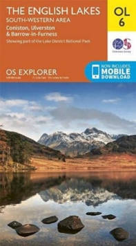
English Lakes South-Western Area OL6
Coniston, Ulverston & Barrow-in-Furness OS Explorer Map
£9.99 -
English Lakes, South Eastern Area, OL 7
Kendal, Windermere and Silverdale
£15.99 -
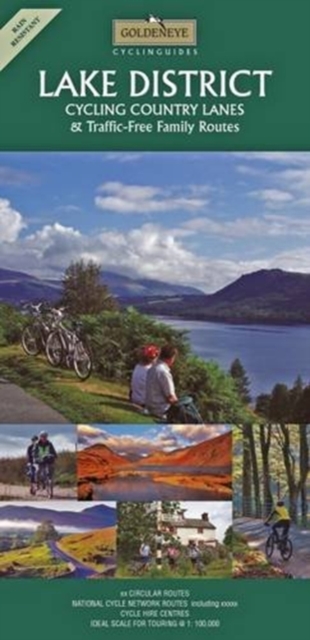
Lake District : Cycling Country Lanes & Traffic-Free Family Routes
£7.99 -
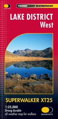
Lake District West
Superwalker waterproof map
£14.50 -
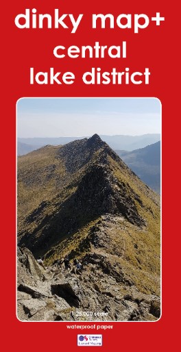
Dinky Map – Central Lake District
£9.99 -
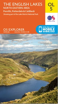
English Lakes North-Eastern Area OL 5
Penrith, Patterdale & Caldbeck
£9.99 -
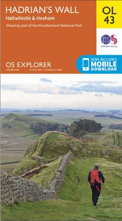
Hadrian’s Wall OL 43
Haltwistle & Hexham OS Explorer
£9.99 -
Carlisle, Brampton, Longtown & Gretna Green 315
OS Explorer Active Map - Waterproof
£15.99 -
Carlisle, Brampton, Longtown & Gretna Green OL 315
OS Explorer
£9.99 -
English Lakes – North Western Area OL 4
Keswick,Cockermouth and Wigton OS Explorer
£9.99 -
Coniston and Langdale
Altos Explorer
£4.95 -
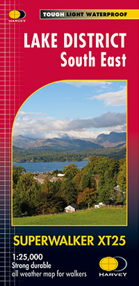
Lake District South East
Superwalker XT25 Waterproof
£13.50
Showing all 14 results