
-
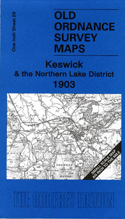
Keswick and Northern Lakes 1903
Old Ordnance Survey Maps of Cumberland
£3.50 -
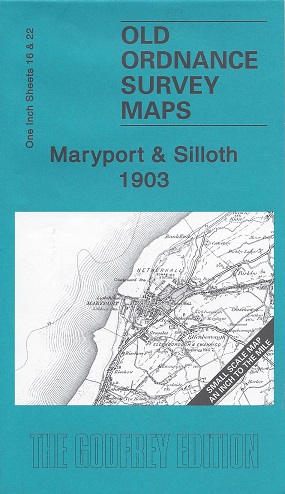
Maryport and Silloth 1903
Old Ordnance Survey Maps of Cumberland
£3.50 -
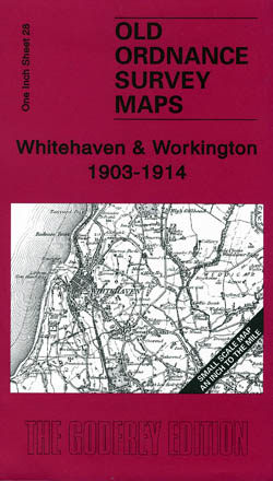
Whitehaven and Workington 1903-1914
Old Ordnance Survey Maps of Cumberland
£3.50 -

Nenthead 1898
Old Ordnance Survey Maps of Cumberland
£3.50 -

Stainmore 1904
Old Ordnance Survey Maps of Cumberland
£3.50 -
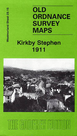
Kirkby Stephen 1911
Old Ordnance Survey Maps of Westmorland:
£3.50 -
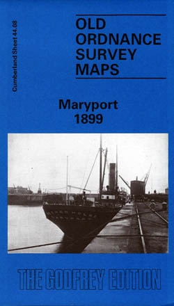
Maryport 1899
Old Ordnance Survey Maps of Cumberland
£3.50 -
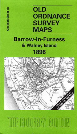
Barrow-in-Furness and Walney Island 1896
Old Ordnance Survey Maps of Lancashire
£3.50 -
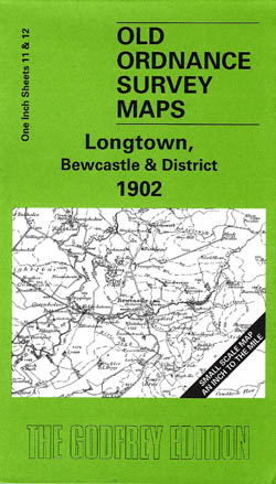
Longtown, Bewcastle and District 1902
Old Ordnance Survey Maps of Cumberland
£3.50 -

Shap,Ullswater and Appleby 1895
Old Ordnance Survey Maps of Cumberland
£3.50 -
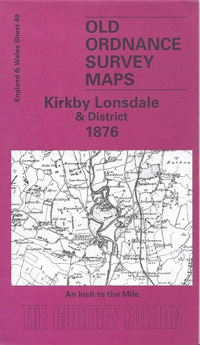
Kirkby Lonsdale and District 1876
Old Ordnance Survey Maps of Westmorland:
£3.50 -
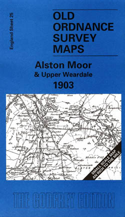
Alston Moor and Upper Weardale 1903
Old Ordnance Survey Maps of Cumberland
£3.50 -
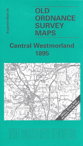
Central Westmorland 1895
Old Ordnance Survey Maps of Westmorland:
£3.50 -
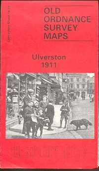
Ulverston 1911
Old Ordnance Survey Maps of Lancashire
£3.50 -
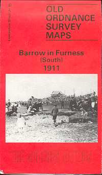
Barrow in Furness (South) 1911
Old Ordnance Survey Maps of Lancashire
£3.50 -
Appleby 1911
Old Ordnance Survey Maps of Westmorland:
£3.50 -
Barrow in Furness (East) 1911
Old Ordnance Survey Maps of Westmorland:
£3.50 -
Cockermouth 1898
Old Ordnance Survey Maps of Cumberland
£3.50 -
Kendal (North) 1911
Old Ordnance Survey Maps of Westmorland:
£3.50 -
Carlisle (North West) 1924
Old Ordnance Survey Maps of Cumberland
£3.50
Showing 21–40 of 45 results