
Maps- contemporary and historic; decorative wall maps and travel guides
1:25,000
(17)
Ordnance Survey and others @ 1:25,000
1:40,000
(8)
Ordnance Survey and others @ 1:40,000
1:50,000
(14)
Ordnance Survey and others @ 1:50,000
Old Ordnance Survey
(53)
Ordnance Survey maps from the 19th and 20th centuries.
Other
(31)
Other miscellaneous local maps
Top Visitor
(49)
Top guides and maps for the visitor to the county.
Travel Guides
(69)
Various guides to the Lake District
Wainwright
(24)
Wainwright Series
Wall Maps
(14)
Waterproof
(15)
Waterproofed maps
-
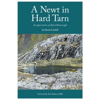
A Newt In Hard Tarn
An Appreciation Of Alfred Wainwright
£15.95 -

Brewers Loop
A Loopy Tour of Lake District Breweries
£15.99 -
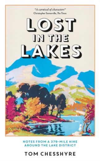
Lost in the Lakes
Notes from a 379-Mile Walk in the Lake District
£16.99 -

Waterbird
Wings Over Windermere
£14.99 -
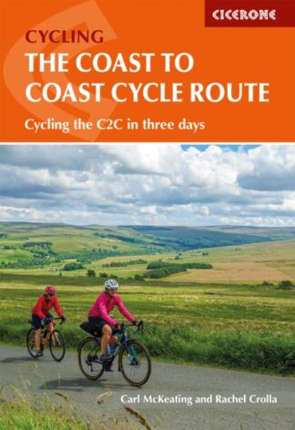
The Cycling the Coast to Coast Cycle Route
Whitehaven or Workington to Tynemouth or Sunderland
£16.95 -

DK Eyewitness Top 10 Lake District
£8.99 -
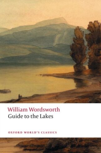
Guide to the Lakes
£9.99 -

Gins of the North West
The Spirit of The Lakes, Fells, Cities & Coast
£11.99 -
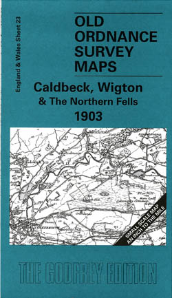
Calbeck, Wigton and the Northern Fells 1903
Old Ordnance Survey Maps of Cumberland
£3.50 -
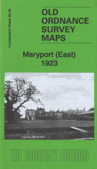
Maryport (East) 1923
Old Ordnance Survey Maps
£3.50 -
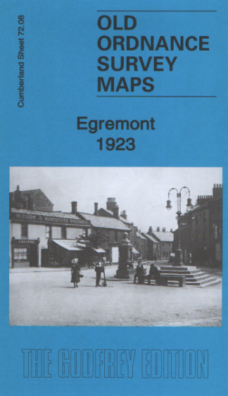
Egremont 1923
Old Ordnance Survey Maps
£3.50 -
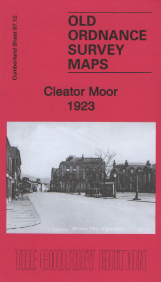
Cleator Moor 1923
Old Ordnance Survey Maps
£3.50 -
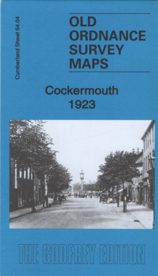
Cockermouth 1923
Old Ordnance Survey Maps
£3.50 -
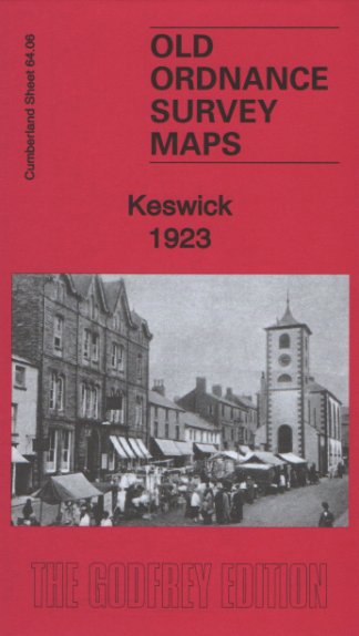
Keswick 1923
Old Ordnance Survey Maps
£3.50 -
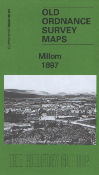
Millom 1897
Old Ordnance Survey Maps
£3.50 -
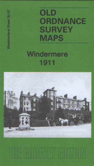
Windermere 1911
Old Ordnance Survey Maps
£3.50 -
Walking The Cumbria Way : Ulverston to Carlisle
main route with mountain alternatives
£14.95 -

111 Places Along Hadrian’s Wall That You Shouldn’t Miss
£13.99 -
Lake District & Cumbria Cycle Map
22
£8.99 -
The Lake District: Where to Eat, Sleep and Explore
£15.00
Showing 1–20 of 190 results