MENU
Home
Browse books
History
People
Travel Guides
Photography
Children's
Places
DVDs & CDs
Maps
Cookery
Outdoors
The Arts
View All Titles
Events
About
Links
Contact
Search
Basket
Books Cumbria
:
Maps
:
Old Ordnance Survey
Old Ordnance Survey
Old Ordnance Survey Maps of Cumberland: Barrow in Furness (East)
£3.00
A facsimile of the original 1911 map showing the town in great detail in the early years of the 20th century.
Publisher :
Godfrey
Published :
1991
Pages :
Format :
Folded map.
Click here to read the reviews
Quantity:
Old Ordnance Survey Maps of Cumberland: Barrow in Furness (North-east)
£3.00
A facsimile reprint of the 1911 edition, showing the area as it was in the early years of the 20th century. With notes.
Publisher :
Godfrey
Published :
Pages :
Format :
Folded map.
Click here to read the reviews
Quantity:
Old Ordnance Survey Maps of Cumberland: Barrow in Furness (North-West)
£3.00
A facsimile reprint of the 1911 edition, showing the area as it was in the early years of the 20th century. With notes.
Publisher :
Godfrey
Published :
Pages :
Format :
Folded map.
Click here to read the reviews
Quantity:
Old Ordnance Survey Maps of Cumberland: Barrow in Furness (South) 1911
£3.00
A facsimile of the 1911 edition showing the area as it was in the early years of the 20th century.
Publisher :
Godfrey
Published :
1992
Pages :
Format :
Folded map.
Click here to read the reviews
Quantity:
Old Ordnance Survey Maps of Cumberland: Barrow in Furness (West) 1911
£3.00
A facsimile reprint of the 1911 edition, showing the area as it was in the early years of the 20th century. With notes.
Publisher :
Godfrey
Published :
Pages :
Format :
Folded map.
Click here to read the reviews
Quantity:
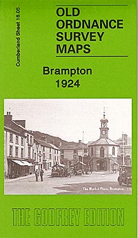
Old Ordnance Survey Maps of Cumberland: Brampton 1924
£3.00
A facsimile reprint of the 1924 edition, showing the area as it was at the turn of the 20th century.
Publisher :
Godfrey
Published :
2008
Pages :
Format :
Folded map.
Click here to read the reviews
Quantity:
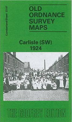
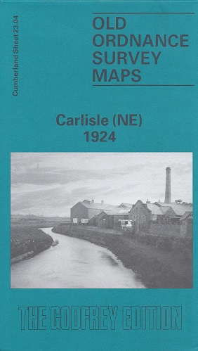
Old Ordnance Survey Maps of Cumberland: Carlisle (North West) 1924
£3.00
A facsimile reprint of the 1924 edition, showing the area as it was in the early years of the 20th century. With notes.
Publisher :
Godfrey
Published :
1990
Pages :
Format :
Folded map.
Click here to read the reviews
Quantity:
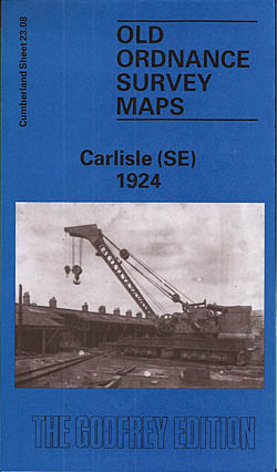
Old Ordnance Survey Maps of Cumberland: Carlisle 1924 (South East)
£3.00
A facsimile reprint of the 1924 edition, showing the area as it was in the early years of the 20th century. With notes.
Publisher :
Godfrey
Published :
1990 reprinted 2008
Pages :
Format :
Folded map.
Click here to read the reviews
Quantity:
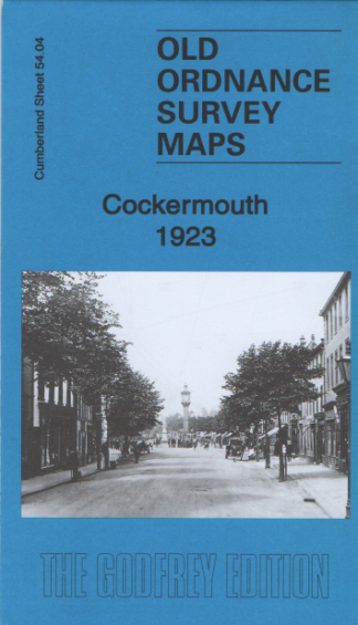
Old Ordnance Survey Maps of Cumberland: Cockermouth 1898
£3.00
A facsimile reprint of the 1898 edition, showing the area as it was at the turn of the 20th century. With notes.
Publisher :
Godfrey
Published :
1991
Pages :
Format :
Folded map.
Click here to read the reviews
Quantity:
Old Ordnance Survey Maps of Cumberland: Dumfries (North)
£3.00
A facsimile of the 1899 edition. Shows the area in detail as it was in the early years of the 20th century.
Publisher :
Godfrey
Published :
1991
Pages :
Format :
Folded map.
Click here to read the reviews
Quantity:
Old Ordnance Survey Maps of Cumberland: Dumfries (South)
£3.00
A facsimile of the 1899 edition showing in detail what the area was like at the beginning of the 20th century.
Publisher :
Godfrey
Published :
1990
Pages :
Format :
Folded map.
Click here to read the reviews
Quantity:
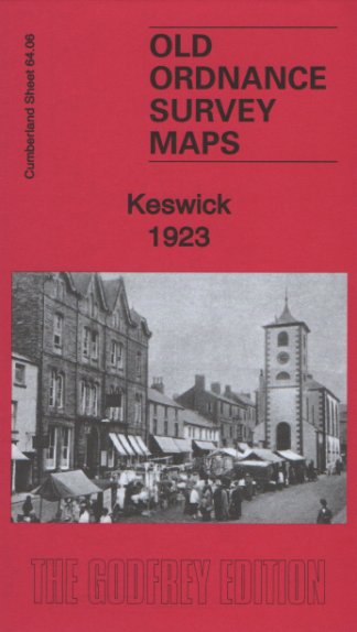
Old Ordnance Survey Maps of Cumberland: Keswick 1898
£3.00
A facsimile reprint of the 1898 edition, showing the area as it was at the turn of the 20th century. With notes.
Publisher :
Godfrey
Published :
1990
Pages :
Format :
Folded map.
Click here to read the reviews
Quantity:
Old Ordnance Survey Maps of Cumberland: Ulverston 1911
£3.00
A facsimile of the 1911 edition, showing the area as it was in the early years of the 20th century.
Publisher :
Godfrey
Published :
1992
Pages :
Format :
Folded map.
Click here to read the reviews
Quantity:
Old Ordnance Survey Maps of Westmorland: Appleby1911
£3.00
A facsimile reprint of the 1911 edition, showing the area as it was in the early years of the 20th century. With notes.
Publisher :
Godfrey
Published :
1992
Pages :
Format :
Folded map.
Click here to read the reviews
Quantity:
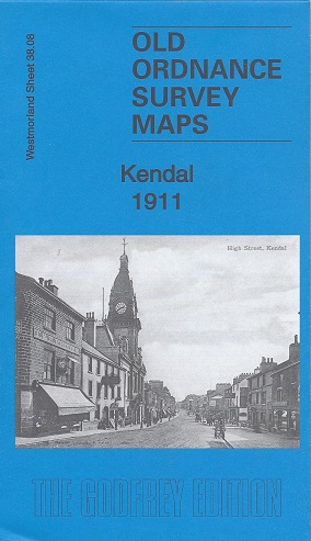
Old Ordnance Survey Maps of Westmorland: Kendal (North) 1911
£3.00
A facsimile reprint of the 1911 edition, showing the area as it was in the early years of the 20th century. With notes.
Publisher :
Godfrey
Published :
1991
Pages :
Format :
Folded map.
Click here to read the reviews
Quantity:
Old Ordnance Survey Maps of Westmorland: Kendal (South)
£3.00
A facsimile reprint of the 1911 edition, showing the area as it was in the early years of the 20th century. With notes.
Publisher :
Godfrey
Published :
1991
Pages :
Format :
Folded map.
Click here to read the reviews
Quantity:
Old Ordnance Survey Maps: Central Westmorland 1895
£3.00
A facsimile of the 1895 edition. Shows the area in detail as it was in the 19th century.
Publisher :
Godfrey
Published :
November 2000
Pages :
Format :
Folded Map
Click here to read the reviews
Quantity:
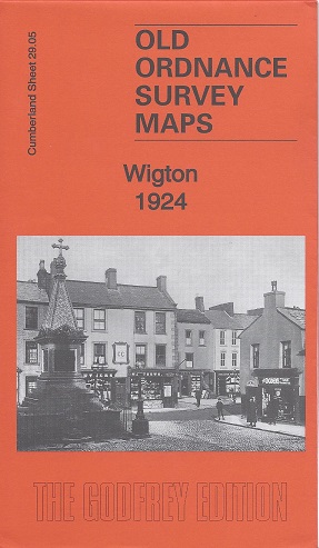
Old Ordnance Survey Maps: Wigton 1924
£3.00
A facsimile of the 1924 edition. Shows the area in detail as it was in the early years of the 20th century.
Publisher :
Godfrey
Published :
September 2014
Pages :
Format :
Folded Map
Click here to read the reviews
Quantity:
Back to Top
Home
Browse books
History
People
Travel Guides
Photography
Children's
Places
DVDs & CDs
Maps
Cookery
Outdoors
The Arts
Search
Events
About
Links
Contact